Text Yuri Basilicò
Photos Sara Furlanetto
Text Yuri Basilicò
Photos Sara Furlanetto
From Friuli-Venezia Giulia to Marche to tell and promote the longest hiking trail in the world: the story of the first 3.548 km of the Va’ Sentiero expedition.

I had heard about the GR20, a 15-day hike that runs through the mountainous ridge of Corsica. It was a period full of doubts and worries, that trail seemed challenging enough to satisfy my hunger for adventure and to help me stay away from ny thoughts. At the end of September 2016, I landed in Bastia.
After a few days I found myself surrounded by a dense sudden fog, I was crossing a vast plateau just north of Monte Cinto and got completely lost. Wandering to find the trail again, I came across three Swedish guys. They were traveling the GR in the opposite direction and got lost like me. We found the trail together and, before leaving, they asked me: “since you are Italian, do you know the Sentiero Italia?”. I had to admit it was the first time I’ve ever heard about it.
A few months later, on a cold night in the plain, that episode came to my mind and I went to look for it on Google. I found little information but that was enough for me: a 7,000 km trail along all the Italian mountains, for years now forgotten. It didn’t take me long to start fantasizing about an expedition discovering this great mysterious trail. I still didn’t know it, but that evening a new chapter of my life was about to begin.
May 15th, 2019. Gemona del Friuli. 232 km.
Today is my birthday. It’s getting dark outside and it started to rain again.
I am at the Gemona’s ER, a small village at the foot of the Julian Prealps that I knew only because of the 1976 earthquake. This afternoon, while I was going down among the pastures towards the village of Prossenicco, a fat tick slipped into my calf: I managed to extract it completely, but I had a great infection and we thought it would have been better to go to the hospital. We thought: the guys and I.
We left two weeks ago from Muggia, on the Trieste Gulf, the starting point of Sentiero Italia. We are five: a photographer, a videomaker, a logistic manager, a clerk and I. Va’ Sentiero: that’s the name of the expedition.
We hit the road on May 1st, northwards, along the border with Slovenia. The first few days we crossed the Karst woods, unfortunately the sun left us almost immediately and the rain returned.
Finally, with almost a sense of relief, we started going up in the Natisone Valleys. It was cold and it started to snow a lot above 1,500 m: exactly where we were going. Together with bad weather, the first tendinitis, the first normal aches, had come up: we were not very well trained yet. And swarms of ticks. Of course, it was still early to go down in the damps, but there was some discontent and every now and then it came up.


July 18th, 2019. Valtellina, upper Lombardy. 1.272 km.
Summer finally arrived. After the first difficult months, between the meters of dirt snow at high altitude and the destroyed forests in the Triveneto, things were now going well.
In the past few weeks the mountains seemed to have drastically changed proportions: Gran Zebrù, Bernina, Disgrazia. The Dolomites seemed so little to me, in comparison. After going around the Bernina we headed towards the Disgrazia. We stopped at the foot of the immense eastern wall, at the Ventina refuge. The first manager of the refuge, Oreste Lenatti, in 1956 accompanied Bonatti for a while during the legendary winter crossing of the Alps. After a great dinner, I laid down on the bank of the stream that flowed noisily from the Vedretta; the scene traced the images I created in my head when as I child I was reading The Call of the Wild.
Two days ago we hit the Sentiero Roma, the semi-mountaineering trail that, from Valmalenco extends towards the end of Lake Como, above the Val Masino. Probably the most difficult part of our entire trip, with 8 high altitude passes, one after the other.
Yesterday, going down from the Bocchetta Roma, we almost risked losing our photographer Sara. She was descending from a fixed rope, suspended on a twenty meter jump; a stone broke away from the wall and bounced off her face. She dodged it naturally, we got very scared.
At the base of the wall there was a snowfield in poor condition and having no crampons with us it took us more than two hours to cross that kilometer that separated us from the Bivacco Kima. Luckily, we found some playing cards in the bivouac to relieve the tension.

“She was descending from a fixed rope, suspended on a twenty meter jump; a stone broke away from the wall and bounced off her face. She dodged it naturally, we got very scared.“
September 1st, 2019. Courmayeur, Aosta Valley. 2.044 km.
Yesterday morning we passed the crossing of Col del Malatrà and we found ourselves in front of the wall of the Grandes Jorasses. We climbed the Testa Bernarda, a perfect balcony over the entire Mont Blanc massif, right in front of the pyramid of Punta Walker.
Stefano, a Touring Club journalist who then became a friend, was with us. He had binoculars with exceptional lenses with him and we spent a lot of time studying all the peaks, the crests, the glaciers, the pinnacles. Wherever I looked, I found trails opened by the greatest mountaineers ever: Cassin, Whymper, Gervasutti. And Bonatti, of course.
While I was looking for the Freney Pilone Centrale, the one of the ’61 tragedy, I noticed small dark spots in the field of view of the binoculars. At the beginning I thought it was my retina, due to the dazzling reflection of the surrounding glaciers; then I realized they were wings moving and approaching.
I called out to the others and, without even having time to realize it, we had twelve birds of prey circling above our heads. They were griffins, absolutely unusual for the area: the body was short and stocky, the neck long and thin, like a vulture. It looked like the enormous outstretched wings almost never move, just only the tip to adjust the trajectory just like equilibrists on an invisible thread.

October 5th, 2019. Mongioie Refuge, lower Piedmont. 2.595 km.
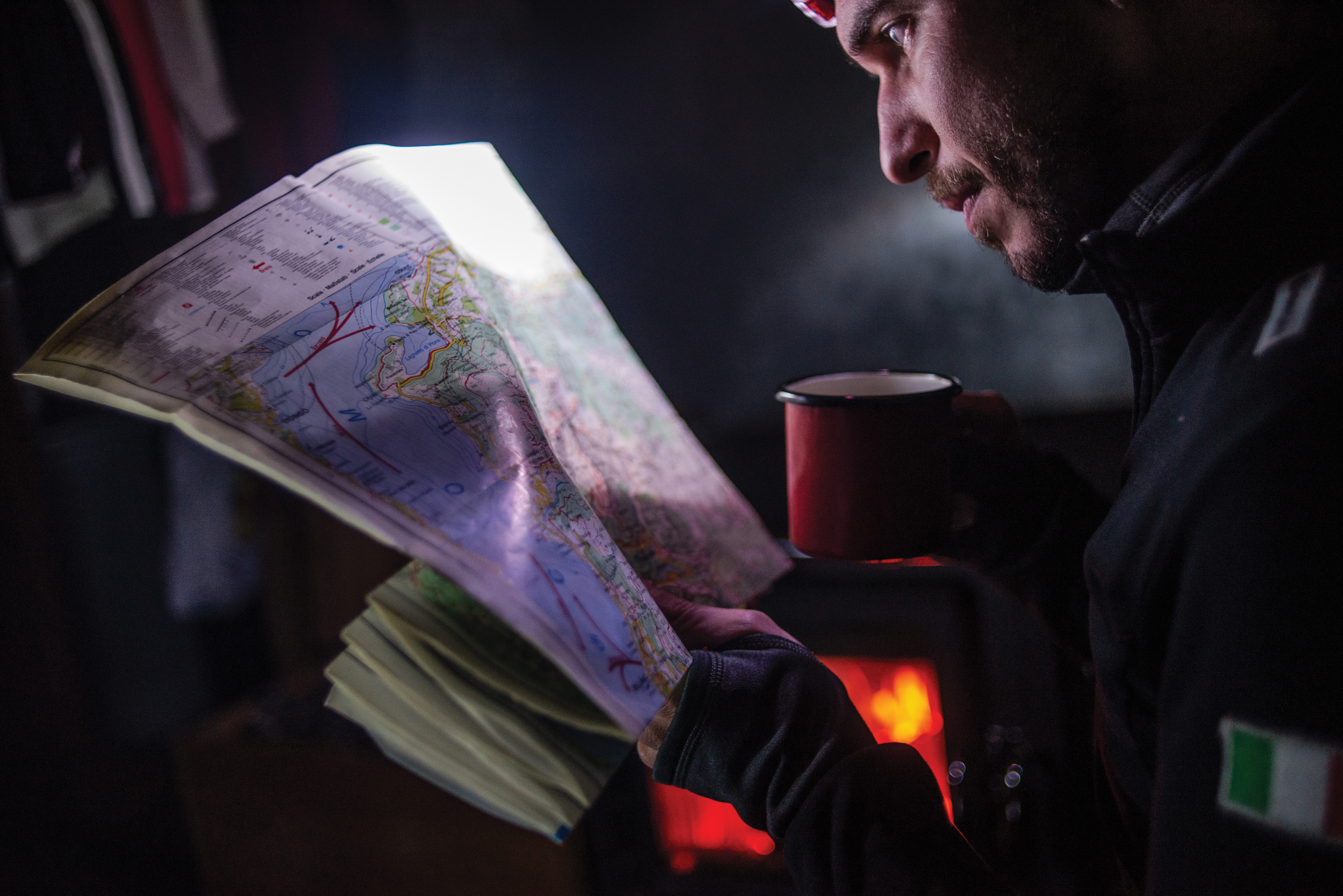
Yesterday I decided to leave the others and made a long detour, I wanted to walk a little alone. I got lost several times, I missed doing that. Looking at the map, I discovered that I was at the foot of such a Mount Jurin and, since my name is Yuri I could only climb to the top. I could see the whole western alpine arc from there. It is no wonder that the Romans considered Monviso to be the highest in the Alps: it is absolutely the mountain that stands out above the others.
Later, as I approached the Garelli Refuge, I felt the sun’s rays on the back of my neck and I realized that the sun was setting behind me. Suddenly I realized that the expedition changed direction: after walking north from the Gulf of Trieste to Tarvisio, then west to Mont Blanc, then south to the Maritime Alps, we were now moving to the east. The last direction that was missing from the Va’ Sentiero collection.
We left the Garelli before sunrise, a cold wind blew and made everything crystal clear.
We went up the north face of the Marguareis, the highest of the Ligurian Mountains. From the summit, for the first time since departure and after 5 months of mountains, we saw the sea again. I had a strange feeling, it felt like coming home. I didn’t know why.


November 11th, 2019. Eremo dei Toschi, Tuscany. 3.240 km.
The bucolic autumn tale ended shortly and we had to deal with plunging temperatures and strong winds from the north: in the previous week only there have been two weather warnings. Our faces began to betray tiredness.
A few days before, on the ridge towards Lake Scaffaiolo, we found ourselves in a blizzard with gusts of the north wind whipping strong enough to shift our weights. You couldn’t seen anything from a meter afar and we had to put on our sunglasses to be able to keep our eyes open. I was a little afraid, I had never experienced whiteout (snow fog and very freezing wind) and I never expected to face it on the Apennines, it was the most extreme situation we have faced so far.
With us there was a young girl who had joined the group for a few days; I had no idea what experience she had and I feared she would lose her mind, in such situations it is not difficult. Instead she stayed focus, concentrated, doing very well what she was told; it struck me. In the evening I seemed to know her for a lifetime.

December 1st, 2019. Halftime.
Visso is a small village at the foot of the Sibillini Mountains. In addition to being halfway through the Va’ Sentiero trail (3,548 km out of the almost 7,000), it has been devastated by the 2016 earthquake: almost all buildings are unusable, especially in the historic center. That’s why we decide to stop the first part of the expedition in Visso: it seemed nice to end the first half of the trip there and then start again, symbolically, when spring would come.
Our arrival, in its own way, has been an event. On the last day the sun magically came back, as if to reward us: a clean sky, without compromise, as at the beginning of the expedition. There were many people who came to walk with us on that day, a gigantic caravan. A girl asked me how I felt at the idea of having almost reached that first goal after walking for 7 months; I realized that I hadn’t had the time or the foresight to prepare for that moment at all.
Then we passed through the first half-destroyed houses, it looked like a bombed village. During the expedition we saw several of the old towns destroyed or abandoned, but there it was different: the houses seemed inhabited until a moment before. A poster of Bob Marley could be seen on the wall of a bedroom.
We the town band started playing in our honor, the people in the distance sang merrily.
It seemed surreal to me, but it was only a moment.

Share this Feature